fbpx

Exploring Optima Communities: Chicago Riverwalk

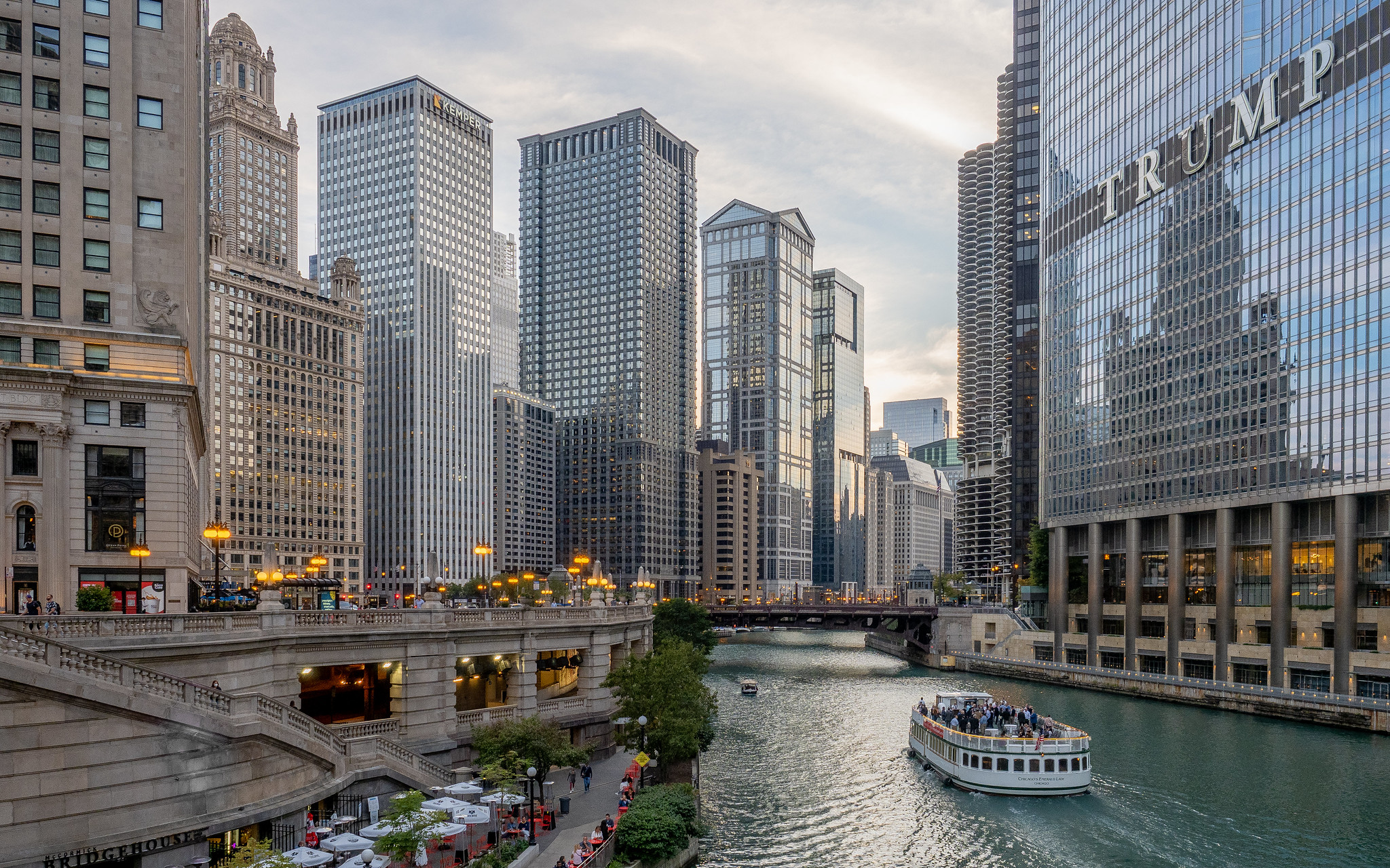
Of all the things Chicago has to offer, its proximity to Lake Michigan is one of the perks that sets the city apart. At Optima Signature, our community enjoys sweeping views of the river that winds through Chicago, and access to the bustling riverwalk just steps away. Enjoyed by locals and visitors alike, the Chicago Riverwalk is a unique part of the downtown community, and one that offers the perfect taste of the city.

The idea of a Riverwalk was actually first introduced in Daniel Burnham’s 1909 Plan of Chicago; however, it took until 2001 for the project to truly take shape. During Wacker Drive’s reconstruction, the work included a way for Chicago’s Lakefront Trail to connect to sidewalks along the river. The project was completed in sections over the years, expanding to include terraced lawns, wider walkways, seating and a pedestrian-friendly space for people to enjoy the riverfront.

Kayaks on the Chicago River

In 2012, Mayor Rahm Emanuel unveiled plans for an addition to the Riverwalk, extending it another six blocks. The new section included six distinct spaces or ‘rooms’, with restaurants and outdoor seating, fountains, piers and access for boats. If you’re looking to set sail on one of Chicago’s many architecture tours by boat, the Riverwalk will be your starting point. For those who are feeling adventurous, urban kayaks are available for rental. The Riverwalk is also home to Art on the Mart, a spectacular light show on the Merchandise Mart which is best viewed from the Riverwalk’s streets. 

The Chicago Riverwalk covers 1.25 miles through the heart of Chicago, and is a wonderful, immersive way to experience the city’s waterfront, architecture, culture and energy. With the weather warming up for spring, it’s worth a visit for a daytime walk or nighttime stroll.
The History of Transit-Oriented Developments

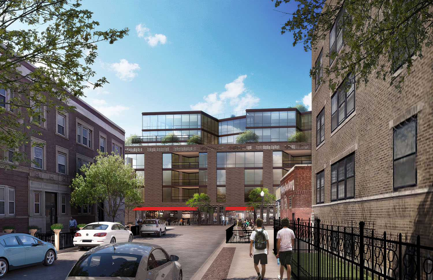
Our latest underway project, Optima Lakeview, is a transit-oriented development in the vibrant Lakeview neighborhood of Chicago. Unless you’re familiar with the world of urban planning, the term transit-oriented development may be unfamiliar to you. When it comes to city design, transit-oriented development is a type of urban development that maximizes the amount of residential, business and leisure space within walking distance of public transport, including buses, trains or subways. Today, we’re taking a closer look at the history of transit-oriented developments within the United States, and how they’ve impacted cities across the country.

A Brief History

Although the concept of transit-oriented development (or TOD) wasn’t officially named until the 1990s, the pieces existed long before. After WWII, the mass production of automobiles allowed more people to move to the suburbs, and also created highly congested cities and roads. City planners and officials called for mass-transit use in urban areas, and federal funding was allocated to cities in need of new systems. New hubs of public transit were followed by housing and businesses, which helped create concentrated communities that benefited from the walkability. As urban planning grew and expanded as a practice, the term transit-oriented development was coined, and many cities and industry professionals have since spent time, resources and research to pinpoint how TODs lead to vibrant communities. 

The Impact of Transit-Oriented Developments

As an initial response to the increase in vehicles going in and out of cities, TODs have successfully reduced congestion in cities, and reaped the environmental benefits. With more commuters and residents taking trains, TODs create a sustainable alternative to getting around. Less cars create a walkable, pedestrian-friendly environment, creating options for healthier lifestyles. And with more foot traffic, local businesses have a greater chance of thriving. 

Residential buildings play a huge part in creating transit-oriented communities. As a transit-oriented development, Optima Lakeview combines residential, commercial retail and leisure space, all within walking distance of an abundance of public transportation options. We’re thrilled to be part of the Lakeview community and to create a place where our residents can live, work and play. 

The Evolving Phoenix Skyline

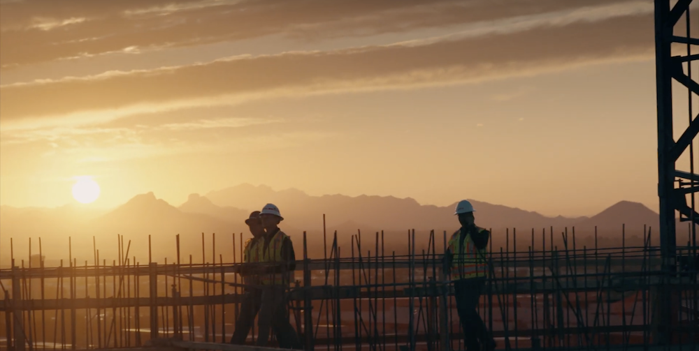
When Optima expanded to its Arizona office in 2000, everything about the landscape was foreign — from the arid climate and lush desert vegetation, to the way the city developed. Our business has taken roots in the state since then, allowing us to tackle new architectural frontiers and new design languages, and also allowing us to witness the explosive expansion and evolution of the Phoenix city skyline.

The Polycentric City

Known as the Valley of the Sun for its sprawling, multi-city metropolitan layout, Phoenix has never been defined by a dense city skyline — but that’s been swiftly changing. As a city that covers 520 square miles, Phoenix was designed to optimize for automobile travel, with a highly advanced freeway system that made out-of-town commuters able to get to and from work in as little as 20-30 minutes, a rarity for most cities.

In response to rapid growth, the city developed a “village” system in the 1980s, aiming to create several urban hubs — rather than one, centralized locale — where businesses could thrive. Since then, fifteen urban villages have emerged in the polycentrically planned city, such as the successful pocket at 24th and Camelback Road, where Optima Biltmore Towers is located.

Onwards and Upwards

As businesses continued to naturally gravitate to a “downtown” core, particularly after the introduction of the light rail in 2008, Phoenix recognized the need to reconsider zoning codes and encourage height and intentional growth in downtown Phoenix. Zoning codes evolved in 2010 and 2015 along the light rail track, and with the code modifications and the city opening its arms, the downtown area began to rise.

Now, 18 of Arizona’s 20 tallest buildings are in downtown Phoenix, including the 40-story Chase Tower which rises to a total of 438 feet. The U.S. Bank Center, designed in the Modernist International Style, is among that list too. While impressive skyscrapers and highrises have begun to fill in the skyline and build out a bustling and thriving downtown, we’re still able to catch glimpses of Camelback Mountain, maintaining the true-to-Arizona-style balance between the built and natural environment.

person name goes here

Maintenance Supervisor

Glencoe, IL


    Acceptable file types: *.pdf | *.txt | *.doc, max-size: 2Mb